







Sierra del Crespón
From Villamorey · km 1.5 → 5.5
- Length
- 4.0 km
- Elevation gain
- +584 m
- Average gradient
- 14.6 %
- Max. in 100 m
- 47 %

SOBRESCOBIO REDES TRAIL
The Sobrescobio Redes Trail (Sobrescobio SkyRace®) is a skyrunning race with more than a decade of history, born in the heart of the Redes Natural Park, with both start and finish in Ríoseco. Its flagship race covers 32 km with 2,100 m of elevation gain, on a demanding course that combines fast trails, steep climbs and technical sections. In recent years, it has established itself among the international elite by becoming part of the Merrell Skyrunner® World Series and by hosting key events in the circuit, such as the U23 Final.
During the race, the route passes through iconic locations such as Soto de Agues, Cabaña de Trapa, Fresnu, Retortoriu, the summits of Pico Cogollu and Ladines, before returning once again to Ríoseco, offering an authentic “village race for the world” experience in one of the most special landscapes in Asturias.
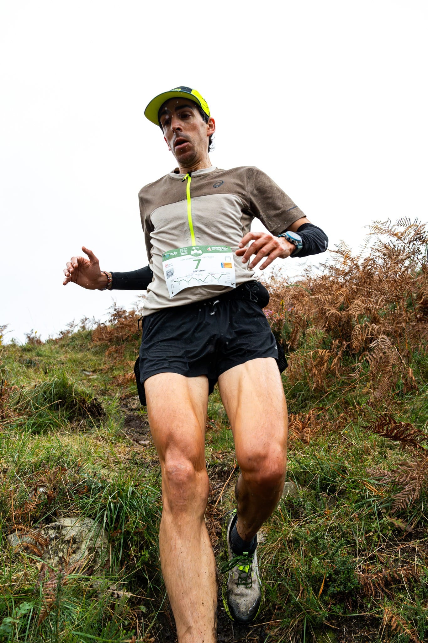
Follow the SOT over the real terrain of the Redes Natural Park: where it climbs, where it descends and where it turns. Move along the profile and the map shows where you are, the altitude, the gradient and how far it is to the next aid station. With Fly the course in 3D, the camera runs the whole race for you.
This browser cannot display the 3D map.
SOT Skyrace 32 km · +2,100 m
Move your mouse or finger along the profile to follow the course on the map.
Profile calculated on the official Wikiloc track with altitudes from Spain’s National Geographic Institute (IGN, 5 m terrain model). GPS distances may differ slightly from the official ones.
The three big climbs of the race, kilometre by kilometre, with their gradients. Tap «Show on the map» to see them head-on, from the bottom.
From Villamorey · km 1.5 → 5.5
From Soto de Agues · km 9.4 → 14.6
From Retortoriu · km 20.7 → 23.6
 Suitable footwear
 Suitable clothing
 Cup or container
 Race bib visible on the front
 Mobile phone
 Hooded windproof jacket
 GPS (Skyrunner WS)
 Thermal blanket
Must be brought to the event. The organisation may activate it at any time, including the day before the race, and will announce it by email or SMS (official channels).
 Beanie or buff
 Whistle
 GlovesLong-sleeved waterproof jacket with hood
At the Sobrescobio Redes Trail, aid stations are not just “checkpoints”; they are places with soul. Here, runners do not simply refuel to keep going; they recharge in villages, mountain huts and iconic mountain passes of the Redes Natural Park, each with its own history, landscape and identity. Every stop has its own kind of magic: it places you, shelters you and sets your rhythm for the next section.
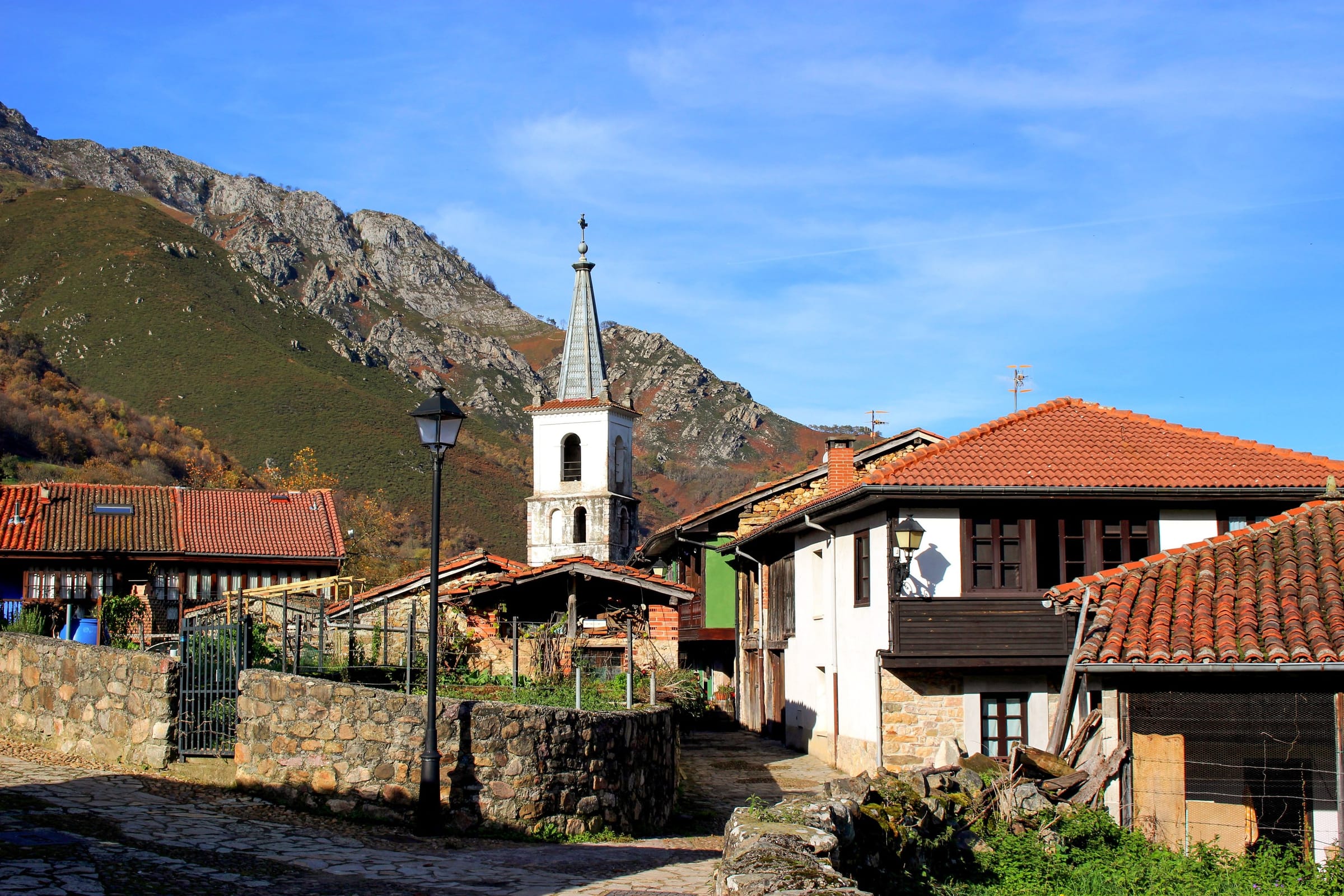

Km 9.6
Liquid and solid aid station
Gateway to the famous Ruta del Alba, one of the most iconic routes in the Redes Natural Park.
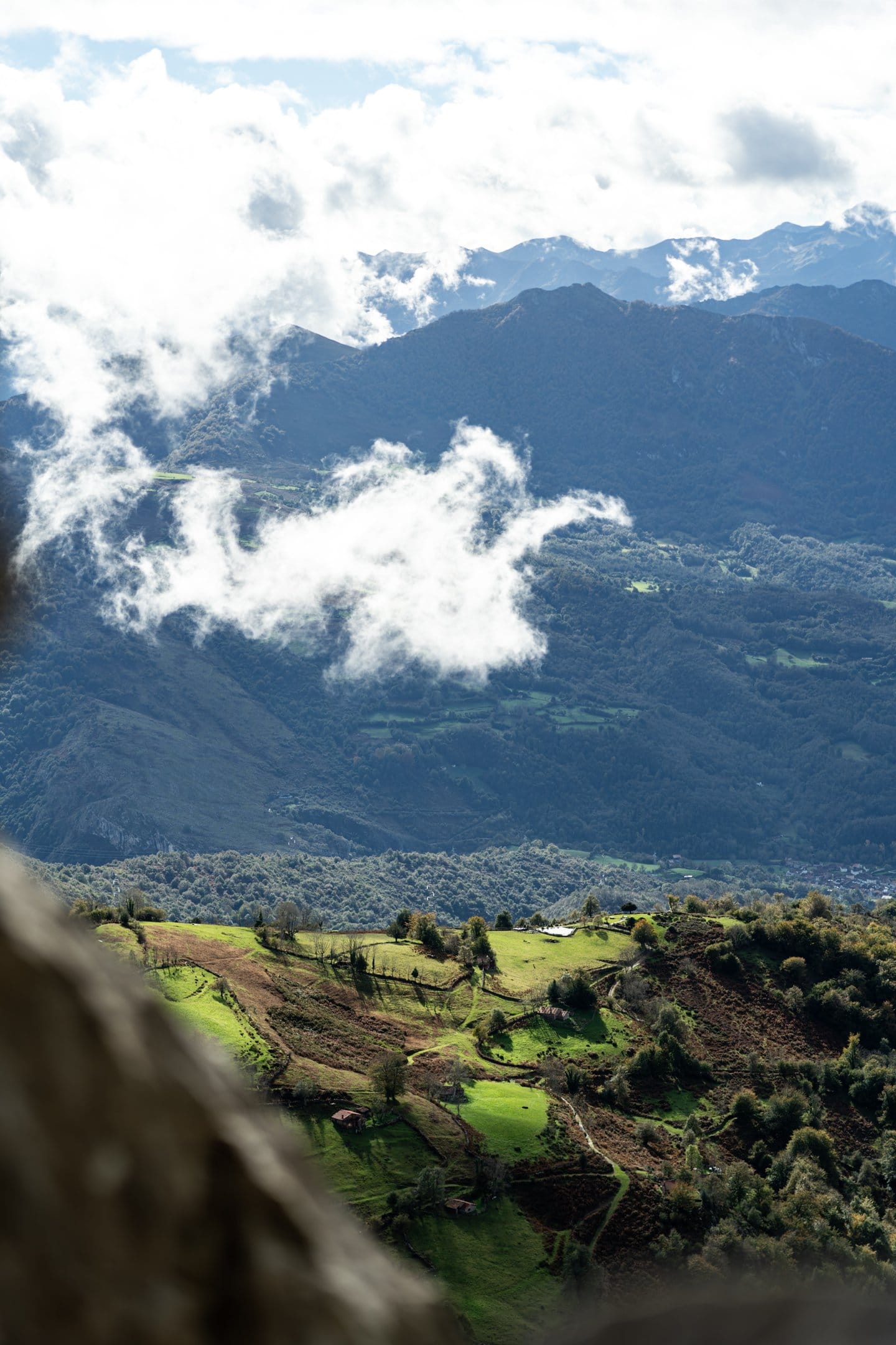

Km 17
Liquid and solid aid station
A classic crossing point in Redes and one of its most magical spots, closely linked to chestnut groves and beech forests.
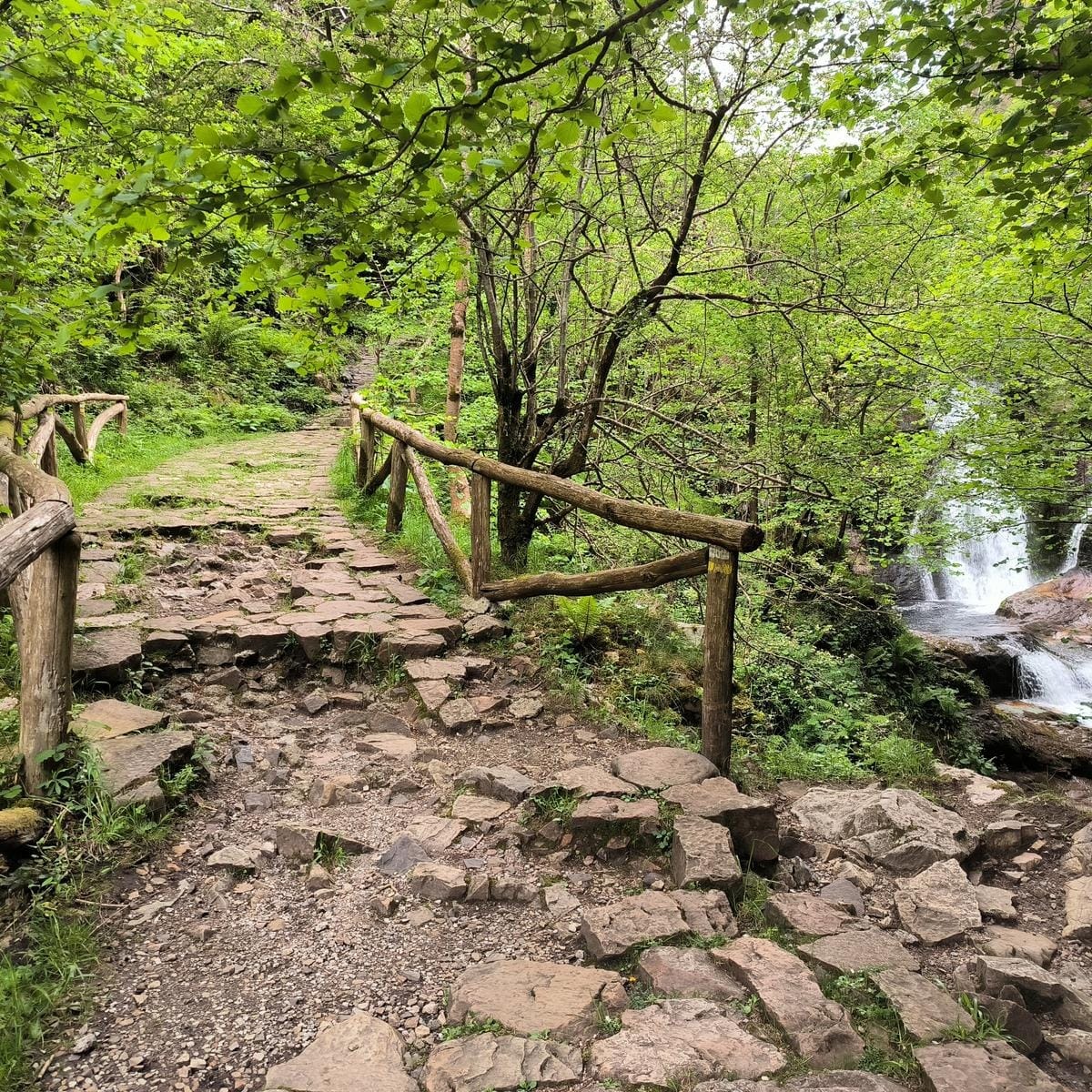
Km 20
Liquid aid station
An iconic point along the Alba route. Fast water stop, then back to the climb.
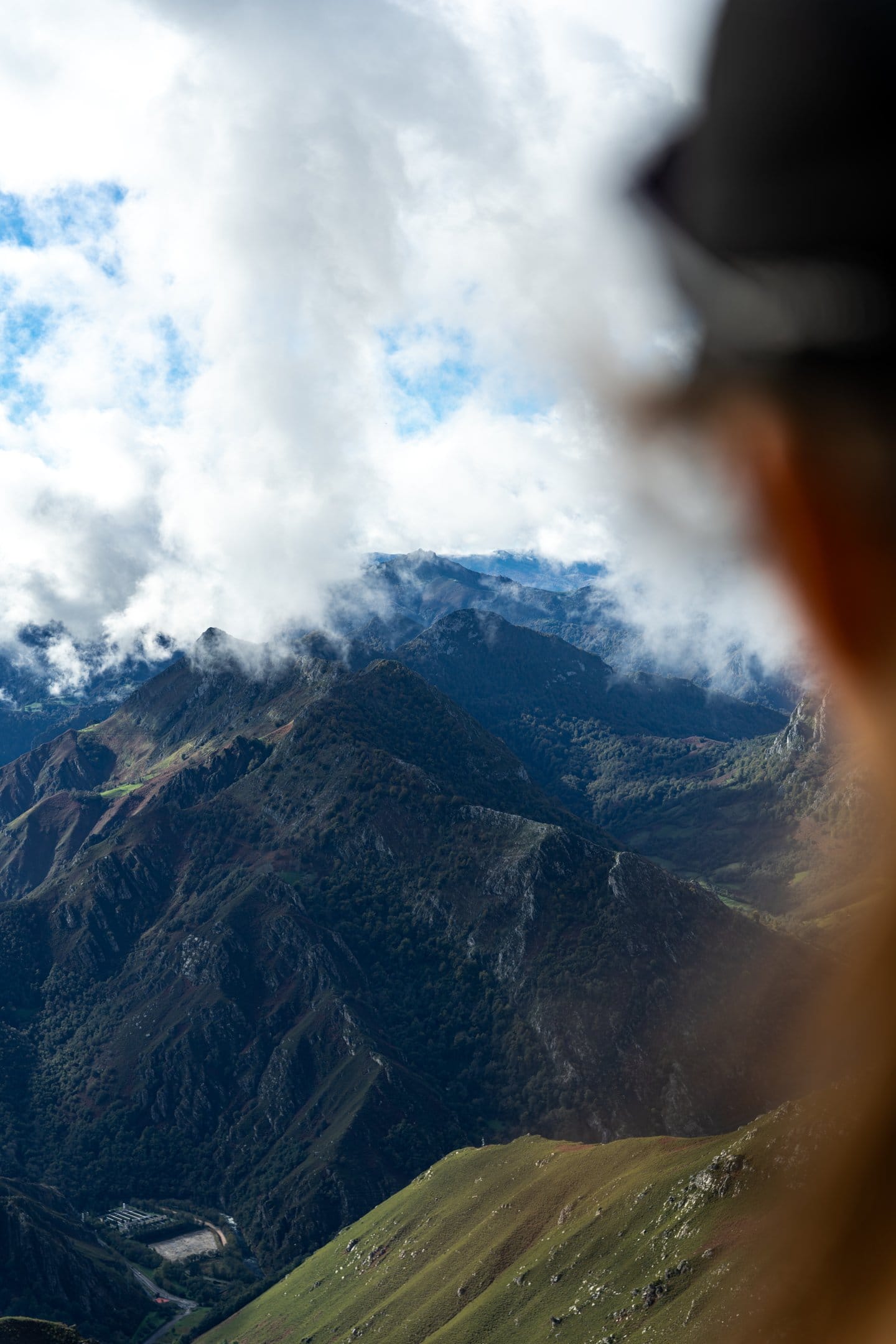

Km 23.5
Liquid and solid aid station
A high mountain pasture area. The last substantial aid station before the final summit.
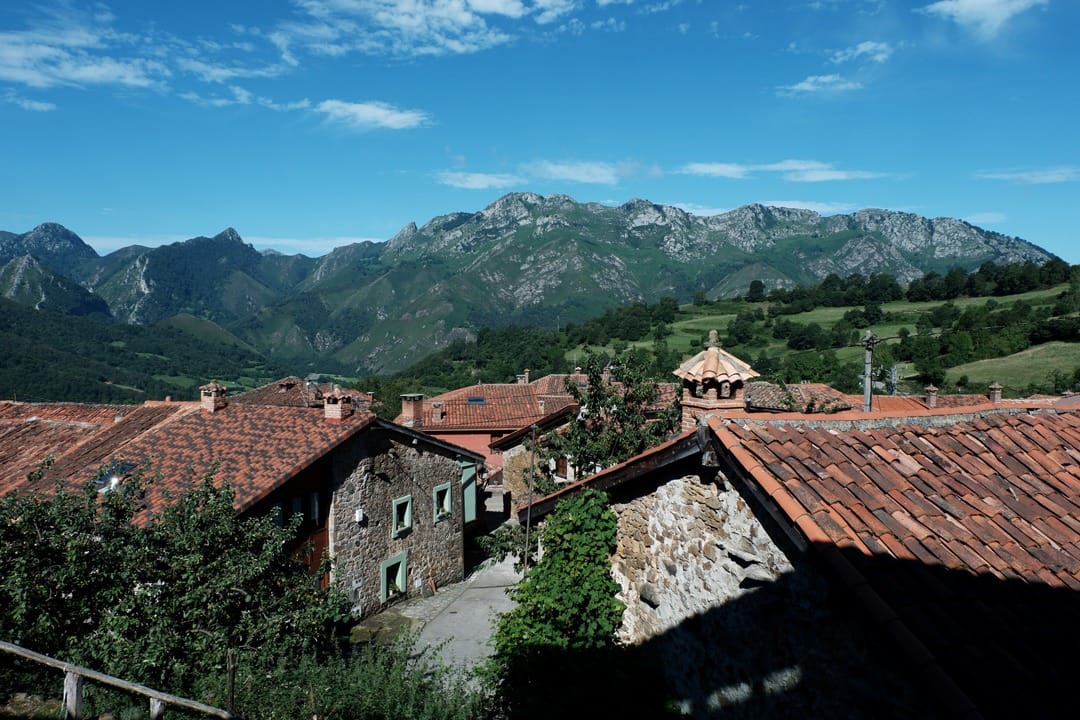

Km 28
Liquid and solid aid station
The final aid station. It leaves you ready for the last push back to Rioseco.
The SOT Skyrunning is the most demanding and untamed version of the course: more mountain, more climbing, and sections where mental strength matters just as much as physical power. These are the fastest times in the race’s history, benchmark performances that define the standard of skyracing in Redes.
| Position | Runner | Time |
|---|---|---|
| 1 | Frédéric Tranchand | 2h39:14 |
| 2 | Jan Torrella | 2h42:06 |
| 3 | Marcos Villamuera | 2h42:27 |
| 4 | Manuel Merillas Moledo | 2h43:42 |
| 5 | Ibai Larrea | 2h45:25 |
| Position | Runner | Time |
|---|---|---|
| 1 | Sara Alonso | 3h14:02 |
| 2 | Naiara Irigoyen | 3h23:06 |
| 3 | Greta García Morán | 3h23:55 |
| 4 | Lucille Germain | 3h25:35 |
| 5 | Patricia Pineda | 3h26:46 |
Rioseco (Sobrescobio) is the start and finish area of the race. It can be reached by car via the AS-117 (Nalón corridor), taking the turn-off towards Sobrescobio / Redes Natural Park and following the signs to Rioseco. As this is a mountain road, please allow extra time, especially on race day. Parking may be signposted and managed by the organisation.
This map is provided by Google Maps, which installs its own cookies. It only loads if you ask for it or accept cookies.