



Pico les Llombes
From Rioseco · km 0.0 → 6.4
- Length
- 6.4 km
- Elevation gain
- +753 m
- Average gradient
- 11.7 %
- Max. in 100 m
- 37 %

SOBRESCOBIO REDES TRAIL
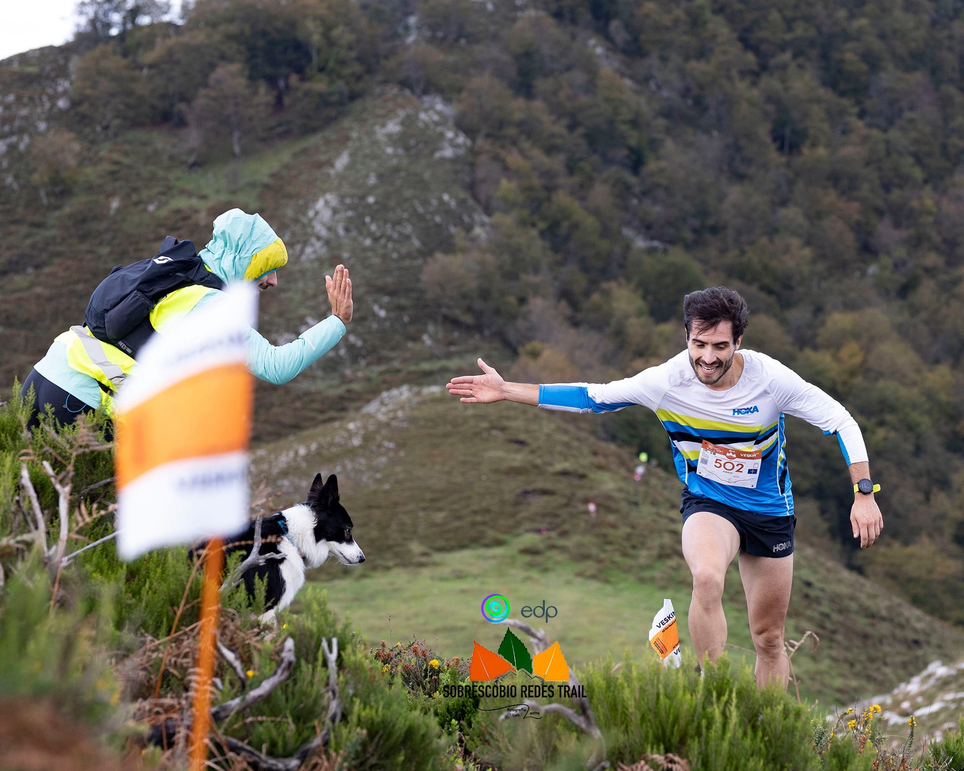
The SST Speed Trail is the most explosive and scenic race of the weekend: 17.5 km with 1,100 m+, starting on Sunday at 10:00 from Rioseco. This year, it will also host the U23 Final of the Esteban Olivero Trophy, an extra incentive that reinforces its competitive character and its connection to the world of skyrunning.
Although its distance might make it sound “fast”, this is not a conventional speed trail. It is a very skyrunning-style course: direct, with concentrated elevation gain, changes of rhythm, and technical sections where you need to run with your head as much as with your legs. From the very first kilometres, the race moves into true mountain terrain, linking iconic points such as Llagos, Pico La Carba and La Gamonal, along a route that alternates between trails, ridgelines and natural viewpoints over the Redes Natural Park.
The final section is one to remember: a long, fast descent along the Roman road, ideal for runners who know how to stay fluid downhill while keeping control when the legs are already loaded. Altogether, it is a short but very complete race, with spectacular scenery, plenty of excitement and a course designed to make every runner feel they are taking on a true mountain race… but at sprint pace.
Follow the SST over the real terrain of the Redes Natural Park: where it climbs, where it descends and where it turns. Move along the profile and the map shows where you are, the altitude, the gradient and how far it is to the next aid station. With Fly the course in 3D, the camera runs the whole race for you.
This browser cannot display the 3D map.
SST Speed Trail 17.5 km · +1,100 m
Move your mouse or finger along the profile to follow the course on the map.
Profile calculated on the official Wikiloc track with altitudes from Spain’s National Geographic Institute (IGN, 5 m terrain model). GPS distances may differ slightly from the official ones.
The big climb from Rioseco to the highest point of the race, past the Llagos Viewpoint, and the second one, short and steep, from Pumarín to Picu la Carba. Kilometre by kilometre, with their gradients.
From Rioseco · km 0.0 → 6.4
From Pumarín · km 9.0 → 10.4
 Suitable footwear
 Suitable clothing
 Cup or container
 Race bib visible on the front
 Mobile phone
 GPS (Skyrunner WS)
 Thermal blanket
Must be brought to the event. The organisation may activate it at any time, including the day before the race, and will announce it by email or SMS (official channels).
 Beanie or buff
 Whistle
 Gloves
 Long-sleeved waterproof jacket with hood
In this race, every aid station is a stop with meaning: viewpoints, villages and passes of the Redes Natural Park where landscape and tradition come together. You don’t just refuel with water and energy; you also recharge your mind for the next section.
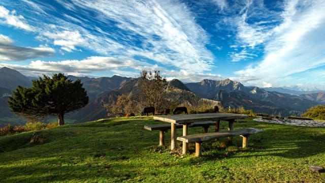

Km 4.5
Liquid and solid aid station
At the Llagos Viewpoint, in Rioseco, the landscape opens out over the valley and the peaks of the Redes Natural Park. A stop with fresh mountain air to recharge and keep going.
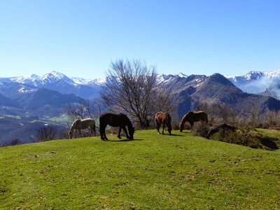
Km 9
Liquid aid station
Past Pico les Llombes, Pumarín is the last place to pick up water before the finish. Liquid only: a quick drink and on with the kilometres that are left.
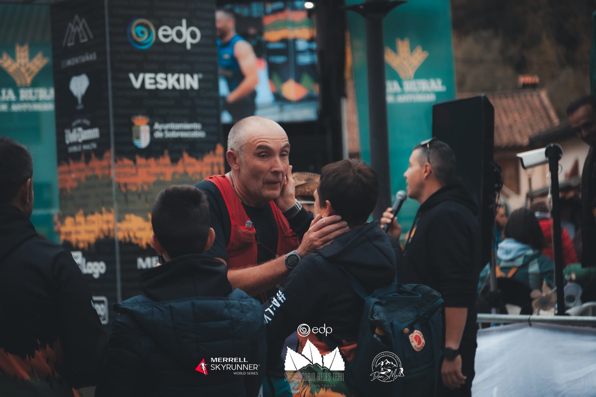

Km 17.5
Liquid and solid aid station
The finish line in Rioseco welcomes you among stone houses and village atmosphere, with the mountains closing the horizon. This is where the effort is celebrated: the final sips, the applause and the finish.
The SST Speed Trail is pure intensity: a fast, demanding and relentless course where every second counts. These are the fastest times in the race’s history, benchmark performances that capture what it means to run hard in Redes.
| Position | Runner | Time |
|---|---|---|
| 1 | Tom Spencer | 1h18:02 |
| 2 | Ibai Larrea | 1h18:58 |
| 3 | Marcos Villamuera | 1h19:24 |
| 4 | Finlay Grant | 1h20:05 |
| 5 | Martin Nilsson | 1h21:06 |
| Position | Runner | Time |
|---|---|---|
| 1 | Claudia Corral | 1h33:59 |
| 2 | Emma Méndez | 1h36:50 |
| 3 | Dalia Alonso | 1h38:17 |
| 4 | Carrodilla Cabestre | 1h41:53 |
| 5 | Gabriela Lasalle | 1h43:40 |
Rioseco (Sobrescobio) is the start and finish area of the race. It can be reached by car via the AS-117 (Nalón corridor), taking the turn-off towards Sobrescobio / Redes Natural Park and following the signs to Rioseco. As this is a mountain road, please allow extra time, especially on race day. Parking may be signposted and managed by the organisation.
This map is provided by Google Maps, which installs its own cookies. It only loads if you ask for it or accept cookies.